Wednesday, December 28, 2011
Monday, December 26, 2011
Saturday, December 10, 2011
A Bird's Eye View (Joburg-Cape Town-Joburg)
After taking off on the 7:10am flight from OR Tambo Intl Airport, Johannesburg, it wasn't long before we were flying alongside the winding Vaal River. The Vaal River forms the boundary between the North West Province and the Free State.
The Bloemhof Dam is on the upper left side of the frame with Hoopstad in the foreground.
The merging of the Riet and Vaal Rivers with the main river being the Vaal.
I am not sure where this zigzagging road is (on the left) but I have also seen it from the opposite direction flying a different airline. According to my detailed map it could be between Douglas and Prieska and does not appear to have a name. (frustratingly many dirt roads have no names)
Very interesting landscape!! We want to find this area on Google Earth and go and take a closer look.
Arid mountainous terrain around the Sutherland area.
The Voelvlei Dam in the triangle of Riebeek-Kasteel, Tulbach and Wolseley.
The Swartland - Malmesbury area where wheat is grown.
Durbanville area - neat vineyards producing wonderful wines!
Cape Town at last! Table Mountain was completely covered with a billowing white 'table cloth'.
Three days later I returned to Joburg leaving on the 6:25am flight (very, very early!!) but the angle of the rising sun allowed me to take some stunning pictures.Taking off from Cape Town Intl Airport we flew towards Muizenberg and left along the coastline, Strandfontein Beach, Macassar and then the Strand.
The Strand (left bottom corner) with it's emerging high-rise apartment block sea front. The jagged coastline fading in the hazy-blue distance, the most distant one being Pringle Bay.
The Strand now below with Gordon's Bay still in shadow and Steenbras Dam just over the mountain.
Theewaterskloofdam just before Villiersdorp. A long bridge on Route 45 cuts right across the middle of the dam, luckily quite narrow at that particular point.
Traveling by road there are fifty-seven kilometers between Theewaterskloofdam and Worcester. The Brandvlei Dam is just before you get to Worcester and is fed by the Bree River.
Part of the Brandvlei Dam with the Bree River shining in the distance.
The Hex River Mountain range. The little town of De Doorns is at the foot of these mountains, also a wine producing area.
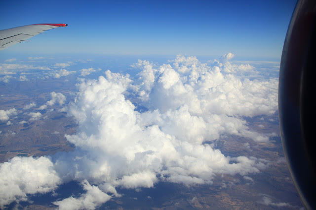
'The Cloud Blanket'! Not much more to take after this, very poor visibility to the ground in places and therefore quite boring.
Merle. Canon 5D Mk11. Canon 28-85mm L.
The Blaauwbank 1874-1920
The old Blaauwbank Hotel, near the first gold diggings in the Magaliesberg, which date back to the 'recent' 1870's.
Derrick, Canon 1Ds Mk2, 17-40mm f4 L
Merle. Canon 5D Mk 11. 100-400mm Canon L
Derrick, Canon 1Ds Mk2, 17-40mm f4 L
Friday, December 2, 2011
Subscribe to:
Posts (Atom)


